Geolocate

Spivey Store topographic map

Click on the map to display elevation.

About this map

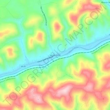
Name: Spivey Store topographic map, elevation, terrain.

Location: Spivey Store, Scott County, Virginia, United States (36.67649 -82.70377 36.71649 -82.66377)

Average elevation: 1,627 ft

Minimum elevation: 1,217 ft

Maximum elevation: 2,152 ft

Other topographic maps

Click on a map to view its topography, its elevation and its terrain.

Duffield

United States > Virginia > Scott County

Average elevation: 1,499 ft

Duffield

United States > Virginia > Scott County

Average elevation: 1,499 ft

Gate City

United States > Virginia > Scott County

Average elevation: 1,601 ft

Gear up for your next adventure:

☀️Outdoor Sunscreen - High protection sunscreen for outdoor activities
🪶Trail Camera - Capture wildlife on your hikes
🛠️Outdoor Gear Repair Kit - Essential tools to fix gear on the trail
👖Convertible Hiking Pants - Versatile zip-off pants for changing altitudes and temperatures
🍳Camping Cook Set - Complete cookware for outdoor meals

As an Amazon Associate, this site earns from qualifying purchases at no extra cost to you.