Geolocate

Zion topographic map

Click on the map to display elevation.

About this map

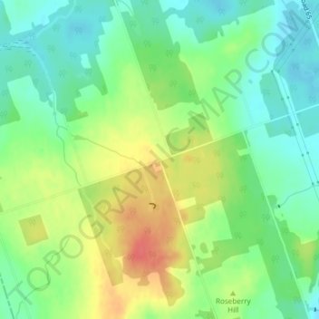
Name: Zion topographic map, elevation, terrain.

Location: Zion, Port Hope, Northumberland County, Central Ontario, Ontario, L1A 3V7, Canada (43.95990 -78.44949 43.97990 -78.42949)

Average elevation: 597 ft

Minimum elevation: 518 ft

Maximum elevation: 715 ft

Other topographic maps

Click on a map to view its topography, its elevation and its terrain.

Gear up for your next adventure:

🪶Camping Sleeping Pad - Comfortable sleeping pad for backpacking
🦶Carbon Trekking Poles - Reduce knee impact on steep descents with ultra-light poles
👟Men's Trail Runners - Lightweight footwear for fast-paced exploration and light hiking
🔋Solar Power Banks - Keep your GPS and phone charged in remote wilderness areas
🥾Women's Hiking Boots - Top-rated trail boots with ankle support and superior grip

As an Amazon Associate, this site earns from qualifying purchases at no extra cost to you.