
Keswick Ridge topographic map
Click on the map to display elevation.
About this map
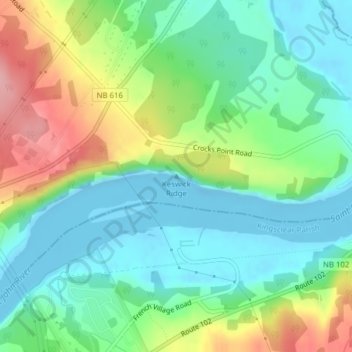
Name: Keswick Ridge topographic map, elevation, terrain.
Average elevation: 141 ft
Minimum elevation: -46 ft
Maximum elevation: 433 ft
Other topographic maps
Click on a map to view its topography, its elevation and its terrain.
Zealand
Canada > New Brunswick > Central York Rural Community > Bright Parish
Average elevation: 384 ft
Mactaquac
Canada > New Brunswick > Central York Rural Community > Bright Parish
Average elevation: 325 ft