
Shaw Springs topographic map
Click on the map to display elevation.
About this map
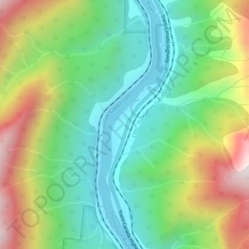
Name: Shaw Springs topographic map, elevation, terrain.
Average elevation: 1,549 ft
Minimum elevation: 627 ft
Maximum elevation: 3,186 ft
Other topographic maps
Click on a map to view its topography, its elevation and its terrain.
Barnes Lake
Canada > British Columbia > Thompson-Nicola Regional District > Area I (Blue Sky Country)
Average elevation: 2,467 ft
Walhachin
Canada > British Columbia > Thompson-Nicola Regional District > Area I (Blue Sky Country)
In December 1914, the westward advance of the CNoR rail head from Kamloops reached Walhachin. The track follows the valley floor at a much lower elevation than the hamlet proper.
Average elevation: 1,437 ft
Blue Earth Lake
Canada > British Columbia > Thompson-Nicola Regional District > Area I (Blue Sky Country)
Average elevation: 5,003 ft