Geolocate

Foley topographic map

Click on the map to display elevation.

About this map

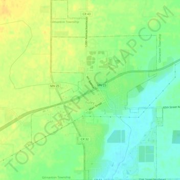
Name: Foley topographic map, elevation, terrain.

Location: Foley, Benton County, Minnesota, 56329, United States (45.64785 -93.93182 45.68415 -93.89263)

Average elevation: 1,142 ft

Minimum elevation: 1,096 ft

Maximum elevation: 1,181 ft

Benton County trails, hiking, mountain biking, running and outdoor activities

Other topographic maps

Click on a map to view its topography, its elevation and its terrain.

Oak Park

United States > Minnesota > Benton County

Average elevation: 1,122 ft

Watab

United States > Minnesota > Benton County

Average elevation: 1,053 ft

Gear up for your next adventure:

🦶Carbon Trekking Poles - Reduce knee impact on steep descents with ultra-light poles
👟Trail Running Shoes - Lightweight shoes for trail runners
🔥Camping Stove - Portable stove for camping and backcountry cooking
🪶Camp Gear Gift Set - Perfect gift bundle for outdoor fans
🚑Emergency Bivvies - Heat-reflective sleeping bags for survival situations

As an Amazon Associate, this site earns from qualifying purchases at no extra cost to you.