Geolocate

Kiester topographic map

Click on the map to display elevation.

About this map

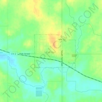
Name: Kiester topographic map, elevation, terrain.

Location: Kiester, Faribault County, Minnesota, 56051, United States (43.53228 -93.72001 43.54106 -93.70324)

Average elevation: 1,237 ft

Minimum elevation: 1,191 ft

Maximum elevation: 1,296 ft

Faribault County trails, hiking, mountain biking, running and outdoor activities

Other topographic maps

Click on a map to view its topography, its elevation and its terrain.

Huntley

United States > Minnesota > Faribault County

Average elevation: 1,093 ft

Gear up for your next adventure:

🌡️Portable Weather Meter - Track weather conditions on the trail
Backpacking Tent - Lightweight and durable tent for multi‑day hikes
🧭Compass with Lanyard - Easy‑carry compass for navigation
🪶Fire Starter Kit - Reliable fire starter for survival and camping
🌲Outdoor Survival Books - Best books on survival skills

As an Amazon Associate, this site earns from qualifying purchases at no extra cost to you.