Geolocate

Sderot topographic map

Click on the map to display elevation.

About this map

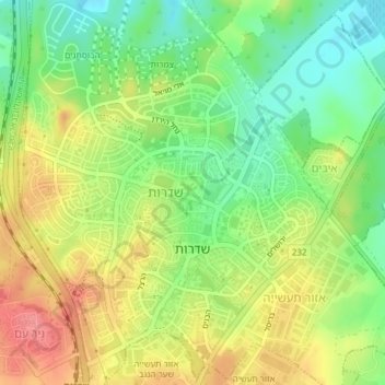
Name: Sderot topographic map, elevation, terrain.

Location: Sderot, Ashkelon Subdistrict, South District, Israel (31.51495 34.57979 31.54756 34.60957)

Average elevation: 292 ft

Minimum elevation: 171 ft

Maximum elevation: 423 ft

Other topographic maps

Click on a map to view its topography, its elevation and its terrain.

Kiryat Gat

Israel > South District

Average elevation: 433 ft

Rahat

Israel > South District > Rahat

Average elevation: 738 ft

Dimona

Israel > South District

Dimona is located in the Negev Desert. The city stands at an elevation of around 550–600 metres (1,800–1,970 ft) above sea level.

Average elevation: 1,834 ft

Ein Bokek

Israel > South District > Tamar Regional Council

Average elevation: -912 ft

Ashdod

Israel > South District

Average elevation: 102 ft

Har Amasa

Israel > South District > Tamar Regional Council

Average elevation: 2,523 ft

Gear up for your next adventure:

🔥Plasma Lighters - Windproof lighters that work in any weather condition
🏔️Mountain Trail Maps - High‑detail maps for popular peaks
🪓Survival Multi‑Tool - Versatile tool for camp and trail tasks
🗺️NatGeo Topo Maps - High-quality waterproof printed topographic maps of US Parks
🪵Folding Camp Saw - Compact saw for wood and campsite work

As an Amazon Associate, this site earns from qualifying purchases at no extra cost to you.