Geolocate

Hume topographic map

Click on the map to display elevation.

About this map

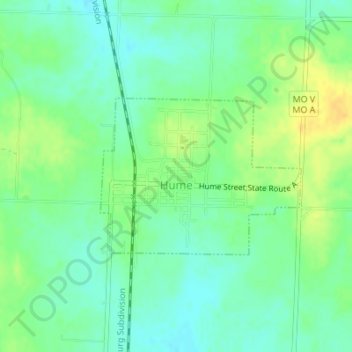
Name: Hume topographic map, elevation, terrain.

Location: Hume, Bates County, Missouri, United States (38.08468 -94.59125 38.09671 -94.57165)

Average elevation: 892 ft

Minimum elevation: 856 ft

Maximum elevation: 945 ft

Bates County trails, hiking, mountain biking, running and outdoor activities

Other topographic maps

Click on a map to view its topography, its elevation and its terrain.

Johnstown

United States > Missouri > Bates County

Average elevation: 823 ft

Hudson

United States > Missouri > Bates County

Average elevation: 873 ft

Gear up for your next adventure:

Backpacking Tents - Weight-optimized shelters for multi-day topographic surveys
🧣Merino Neck Gaiters - Multi-functional headwear for wind and sun protection
🧥Men's Rain Shells - Premium waterproof and breathable jackets for mountain weather
🪶Compact Camp Shovel - Folding shovel for campsite tasks
🧦Hiking Socks - Comfortable socks to prevent blisters on long hikes

As an Amazon Associate, this site earns from qualifying purchases at no extra cost to you.