
Make a donation
Gear up for your next adventure:
As an Amazon Associate, this site earns from qualifying purchases at no extra cost to you.
Klenau topographic map
Click on the map to display elevation.
Make a donation
Gear up for your next adventure:
As an Amazon Associate, this site earns from qualifying purchases at no extra cost to you.
About this map
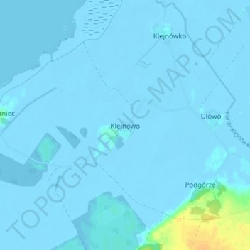
Name: Klenau topographic map, elevation, terrain.
Average elevation: 0 ft
Minimum elevation: -20 ft
Maximum elevation: 85 ft
Make a donation
Gear up for your next adventure:
As an Amazon Associate, this site earns from qualifying purchases at no extra cost to you.
Other topographic maps
Click on a map to view its topography, its elevation and its terrain.
Braunsberg
Polen > Woiwodschaft Ermland-Masuren > powiat braniewski > Braunsberg
Ausführungen des Topographen Goldbeck aus dem Jahre 1785 zufolge ist Braunsberg nach dem Olmützer Bischof Bruno von Schauenburg benannt, der 1254 und 1267 den böhmischen König Ottokar II. Přemysl begleitete, als dieser sich im Baltikum am Kreuzzug des Deutschen Ordens gegen die Pruzzen beteiligte.
Average elevation: 36 ft