
Make a donation
Gear up for your next adventure:
As an Amazon Associate, this site earns from qualifying purchases at no extra cost to you.
Limminghofen topographic map
Click on the map to display elevation.
Make a donation
Gear up for your next adventure:
As an Amazon Associate, this site earns from qualifying purchases at no extra cost to you.
About this map
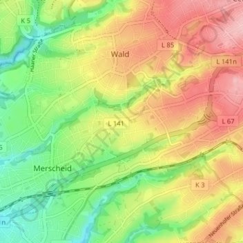
Name: Limminghofen topographic map, elevation, terrain.
Average elevation: 561 ft
Minimum elevation: 335 ft
Maximum elevation: 804 ft
Make a donation
Gear up for your next adventure:
As an Amazon Associate, this site earns from qualifying purchases at no extra cost to you.
Other topographic maps
Click on a map to view its topography, its elevation and its terrain.
Schloss Burg
Deutschland > Nordrhein-Westfalen > Solingen > Oberburg
Schloss Burg (auch Schloss Burg an der Wupper) ist eine ab dem späten 19. Jahrhundert rekonstruierte Höhenburg im Solinger Stadtteil Burg an der Wupper. Die Anlage war seit dem 12. Jahrhundert die Stammburg der Grafen und späteren Herzöge von Berg und ist heute das Wahrzeichen des Bergischen Landes.…
Average elevation: 623 ft
Make a donation
Gear up for your next adventure:
As an Amazon Associate, this site earns from qualifying purchases at no extra cost to you.