Geolocate

Cabancalan topographic map

Click on the map to display elevation.

About this map

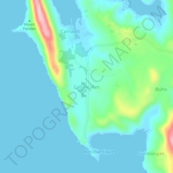
Name: Cabancalan topographic map, elevation, terrain.

Location: Cabancalan, Masbate, Bicol Region, Philippines (12.59801 123.57688 12.63801 123.61688)

Average elevation: 108 ft

Minimum elevation: -16 ft

Maximum elevation: 659 ft

Other topographic maps

Click on a map to view its topography, its elevation and its terrain.

Burias

Philippines > Masbate

Average elevation: 59 ft

Gear up for your next adventure:

🛰️Satellite Messengers - Emergency SOS and two-way messaging for off-grid adventures
😴Insulated Sleeping Pads - Compact and warm pads for high-elevation camping
🪶Paracord Bracelet - Survival bracelet with built‑in tools
🏕️Family Camping Gear - Essentials for group camping trips
🔋Rechargeable Batteries - Power up your outdoor devices

As an Amazon Associate, this site earns from qualifying purchases at no extra cost to you.