

Hammer topographic map
Click on the map to display elevation.
Hammer
Hammer ligt in de Eifel, in het dal van de Roer op een hoogte van 330 meter. De Belgenbach, Brommersbach en Riffenbach monden uit in de Roer.
About this map
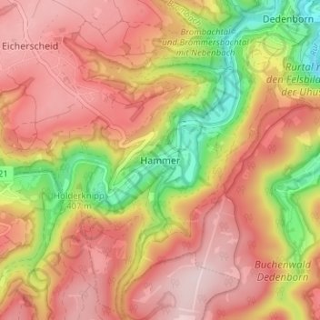
Name: Hammer topographic map, elevation, terrain.
Average elevation: 1,519 ft
Minimum elevation: 932 ft
Maximum elevation: 1,913 ft
Other topographic maps
Click on a map to view its topography, its elevation and its terrain.

Rursee
Duitsland > Noordrijn-Westfalen > Städteregion Aachen > Simmerath > Woffelsbach
Average elevation: 1,188 ft