
Eletra topographic map
Click on the map to display elevation.
About this map
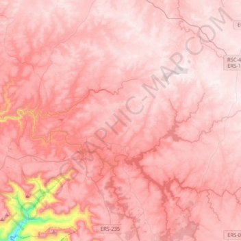
Name: Eletra topographic map, elevation, terrain.
Average elevation: 2,789 ft
Minimum elevation: 528 ft
Maximum elevation: 3,353 ft
Other topographic maps
Click on a map to view its topography, its elevation and its terrain.
Campestre do Tigre
Brasil > Rio Grande do Sul > São Francisco de Paula > Campestre do Tigre
Average elevation: 2,598 ft
Cachoeiras Gemeas Gigantes
Brasil > Rio Grande do Sul > São Francisco de Paula
Average elevation: 2,726 ft
Fazenda Baú
Brasil > Rio Grande do Sul > São Francisco de Paula > Fazenda Baú
Average elevation: 2,818 ft