
Cooke Creek topographic map
Click on the map to display elevation.
About this map
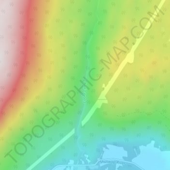
Name: Cooke Creek topographic map, elevation, terrain.
Average elevation: 2,749 ft
Minimum elevation: 1,204 ft
Maximum elevation: 5,167 ft
Other topographic maps
Click on a map to view its topography, its elevation and its terrain.
Grindrod
Canada > British Columbia > Regional District of North Okanagan > Area F (Grindrod/Ashton Creek/Mabel Lake)
Average elevation: 1,332 ft
Mabel Lake
Canada > British Columbia > Regional District of North Okanagan > Area F (Grindrod/Ashton Creek/Mabel Lake)
Average elevation: 3,819 ft
Monashee Mountains
Canada > British Columbia > Regional District of North Okanagan > Area F (Grindrod/Ashton Creek/Mabel Lake)
Average elevation: 5,528 ft