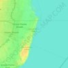
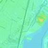
Detroit topographic map
Click on the map to display elevation.
Detroit
The city slopes gently from the northwest to southeast on a till plain composed largely of glacial and lake clay. The most notable topographical feature in the city is the Detroit Moraine, a broad clay ridge on which the older portions of Detroit and Windsor are located, rising approximately 62 feet (19 m) above the river at its highest point. The highest elevation in the city is directly north of Gorham Playground on the northwest side approximately three blocks south of 8 Mile Road, at a height of 675 to 680 feet (206 to 207 m). Detroit's lowest elevation is along the Detroit River, at a surface height of 572 feet (174 m).
About this map
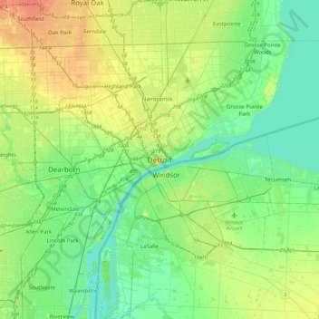
Name: Detroit topographic map, elevation, terrain.
Location: Detroit, Wayne County, Michigan, United States (42.17155 -83.20664 42.49155 -82.88664)
Average elevation: 610 ft
Minimum elevation: 554 ft
Maximum elevation: 728 ft
Wayne County trails, hiking, mountain biking, running and outdoor activities
Other topographic maps
Click on a map to view its topography, its elevation and its terrain.
Detroit River
United States > Michigan > Wayne County > Detroit
The Detroit River is only 0.5–2.5 miles (0.8–4.0 km) wide. It begins with an east-to-west flow from Lake St. Clair, but curves and runs north to south. The deepest portion of the Detroit River is 53 feet (16.2 m) in its northern portion. At its source, the river is at an elevation of 574 feet (175 m) above…
Average elevation: 600 ft