Geolocate

Nail topographic map

Click on the map to display elevation.

About this map

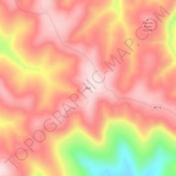
Name: Nail topographic map, elevation, terrain.

Location: Nail, Newton County, Arkansas, United States (35.80452 -93.31296 35.84452 -93.27296)

Average elevation: 1,919 ft

Minimum elevation: 1,014 ft

Maximum elevation: 2,323 ft

Newton County trails, hiking, mountain biking, running and outdoor activities

Other topographic maps

Click on a map to view its topography, its elevation and its terrain.

Western Grove

United States > Arkansas > Newton County

Average elevation: 1,125 ft

Buffalo River

United States > Arkansas > Newton County

Average elevation: 1,417 ft

Gear up for your next adventure:

🪶LED Camping Lantern - Bright lantern for camp lighting
🪶Camping Sleeping Pad - Comfortable sleeping pad for backpacking
☀️Outdoor Sunscreen - High protection sunscreen for outdoor activities
🔋Rechargeable Batteries - Power up your outdoor devices
🧦Hiking Socks - Comfortable socks to prevent blisters on long hikes

As an Amazon Associate, this site earns from qualifying purchases at no extra cost to you.