Geolocate

Lugulu topographic map

Click on the map to display elevation.

About this map

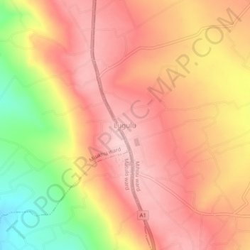
Name: Lugulu topographic map, elevation, terrain.

Location: Lugulu, Mihuu ward, Webuye East, Bungoma County, Western, Kenya (0.64494 34.73433 0.68494 34.77433)

Average elevation: 5,318 ft

Minimum elevation: 4,872 ft

Maximum elevation: 5,558 ft

Gear up for your next adventure:

🥤Water Filter Bottle - All‑in‑one filter bottle for safe hydration
🛡️Insect Repellent - Protection against bugs during outdoor activities
🌡️Portable Weather Meter - Track weather conditions on the trail
🔥Fast-Boil Camping Stoves - Efficient cooking systems for quick trail meals
🪄Magnetic Compass - Accurate compass for navigation

As an Amazon Associate, this site earns from qualifying purchases at no extra cost to you.