Geolocate

Peru topographic map

Click on the map to display elevation.

About this map

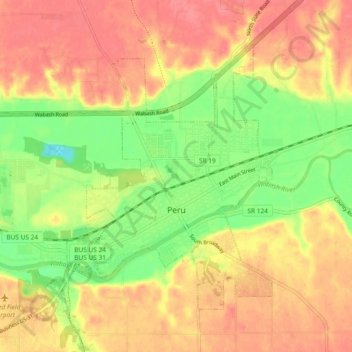
Name: Peru topographic map, elevation, terrain.

Location: Peru, Miami County, Indiana, 46970, United States (40.73383 -86.13538 40.78712 -86.04239)

Average elevation: 709 ft

Minimum elevation: 571 ft

Maximum elevation: 810 ft

Miami County trails, hiking, mountain biking, running and outdoor activities

Other topographic maps

Click on a map to view its topography, its elevation and its terrain.

Erie

United States > Indiana > Miami County

Average elevation: 784 ft

Miami

United States > Indiana > Miami County

Average elevation: 807 ft

Gear up for your next adventure:

🏫Relief Map Kits - Hands-on tools for teaching landforms and elevation
👟Men's Trail Runners - Lightweight footwear for fast-paced exploration and light hiking
🔌Solar Panel Charger - Charge gear sustainably outdoors
📦Gear Storage Bags - Organize and protect outdoor equipment
🪶Trail Camera - Capture wildlife on your hikes

As an Amazon Associate, this site earns from qualifying purchases at no extra cost to you.