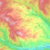
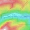
Rogers Pass topographic map
Click on the map to display elevation.
Rogers Pass
Rogers Pass, elevation 11,866 ft (3,617 m), is a mountain pass in the Front Range of central Colorado. The pass crosses the continental divide in the James Peak Wilderness.
About this map
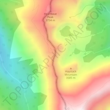
Name: Rogers Pass topographic map, elevation, terrain.
Location: Rogers Pass, Gilpin County, Colorado, United States (39.87013 -105.69700 39.87023 -105.69690)
Average elevation: 11,312 ft
Minimum elevation: 10,043 ft
Maximum elevation: 12,648 ft
Gilpin County trails, hiking, mountain biking, running and outdoor activities
Other topographic maps
Click on a map to view its topography, its elevation and its terrain.
East Portal Distributed Camping Area
United States > Colorado > Gilpin County
Average elevation: 9,977 ft