Geolocate

Freedom topographic map

Click on the map to display elevation.

About this map

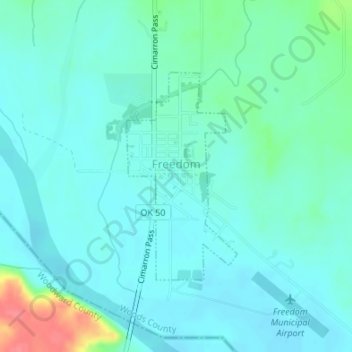
Name: Freedom topographic map, elevation, terrain.

Location: Freedom, Woods County, Oklahoma, 73842, United States (36.76036 -99.11813 36.77632 -99.10750)

Average elevation: 1,545 ft

Minimum elevation: 1,503 ft

Maximum elevation: 1,716 ft

Woods County trails, hiking, mountain biking, running and outdoor activities

Other topographic maps

Click on a map to view its topography, its elevation and its terrain.

Alva

United States > Oklahoma > Woods County > Alva > Alva

Average elevation: 1,401 ft

Gear up for your next adventure:

🌧️Backpack Rain Cover - Keep gear dry in wet weather
⛑️Personal Locator Beacon - Safety beacon for emergencies
🌡️Portable Weather Meter - Track weather conditions on the trail
🪶Compact Camp Shovel - Folding shovel for campsite tasks
🗻Climbing Gear Basics - Essential gear for beginner climbers

As an Amazon Associate, this site earns from qualifying purchases at no extra cost to you.