
Thank you for supporting this site ❤️
Make a donation
Make a donation
Gear up for your next adventure:
As an Amazon Associate, this site earns from qualifying purchases at no extra cost to you.
Riverhurst topographic map
Click on the map to display elevation.
Thank you for supporting this site ❤️
Make a donation
Make a donation
Gear up for your next adventure:
As an Amazon Associate, this site earns from qualifying purchases at no extra cost to you.
About this map
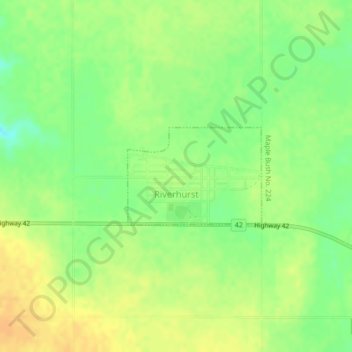
Name: Riverhurst topographic map, elevation, terrain.
Location: Riverhurst, Division No. 7, Saskatchewan, Canada (50.89953 -106.87512 50.90700 -106.85880)
Average elevation: 1,965 ft
Minimum elevation: 1,909 ft
Maximum elevation: 2,005 ft
Thank you for supporting this site ❤️
Make a donation
Make a donation
Gear up for your next adventure:
As an Amazon Associate, this site earns from qualifying purchases at no extra cost to you.