
Pelakot topographic map
Click on the map to display elevation.
About this map
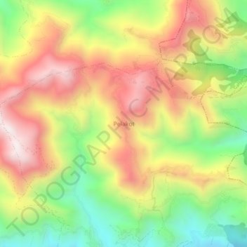
Name: Pelakot topographic map, elevation, terrain.
Location: Pelakot, Galyang, Syangja, Gandaki Province, 33815, Nepal (27.95259 83.64859 27.99259 83.68859)
Average elevation: 3,648 ft
Minimum elevation: 2,162 ft
Maximum elevation: 5,095 ft
Other topographic maps
Click on a map to view its topography, its elevation and its terrain.