Geolocate

Clarkston topographic map

Click on the map to display elevation.

About this map

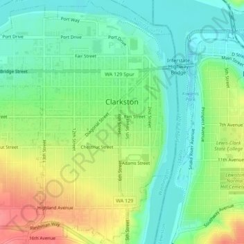
Name: Clarkston topographic map, elevation, terrain.

Location: Clarkston, Asotin County, Washington, United States (46.39934 -117.06926 46.42835 -117.03547)

Average elevation: 807 ft

Minimum elevation: 715 ft

Maximum elevation: 958 ft

Asotin County trails, hiking, mountain biking, running and outdoor activities

Other topographic maps

Click on a map to view its topography, its elevation and its terrain.

Anatone

United States > Washington > Asotin County

Average elevation: 3,599 ft

Gear up for your next adventure:

🧺Microfiber Travel Towels - Compact and fast-drying towels for trail use
🌐World Map Poster - Decorative world maps with topographic info
📦Dry Bags Set - Waterproof storage for electronics and clothes
🧭GPS Watch Accessories - Bands and chargers for GPS watches
🛌Ultralight Sleeping Bags - Compact down bags for cold nights in the wilderness

As an Amazon Associate, this site earns from qualifying purchases at no extra cost to you.