Geolocate

Sugar Island topographic map

Click on the map to display elevation.

About this map

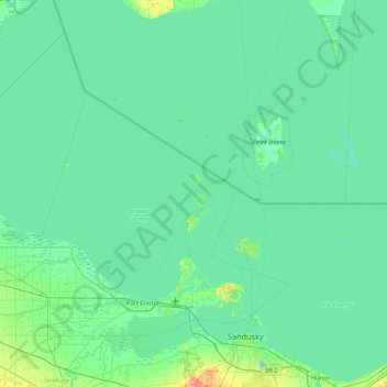
Name: Sugar Island topographic map, elevation, terrain.

Location: Sugar Island, Put-in-Bay Township, Ottawa County, Ohio, 43446, United States (41.37213 -83.14666 42.01213 -82.50666)

Average elevation: 571 ft

Minimum elevation: 545 ft

Maximum elevation: 774 ft

Ottawa County trails, hiking, mountain biking, running and outdoor activities

Other topographic maps

Click on a map to view its topography, its elevation and its terrain.

Gear up for your next adventure:

🩳Quick‑Dry Hiking Shorts - Comfortable and quick‑dry shorts for summer hiking
🧥Men's Rain Shells - Premium waterproof and breathable jackets for mountain weather
🔋Solar Power Banks - Keep your GPS and phone charged in remote wilderness areas
🧯Emergency Survival Kit - All‑in‑one survival essentials for the backcountry
👟Men's Trail Runners - Lightweight footwear for fast-paced exploration and light hiking

As an Amazon Associate, this site earns from qualifying purchases at no extra cost to you.