Geolocate

Harrell topographic map

Click on the map to display elevation.

About this map

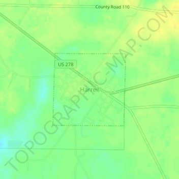
Name: Harrell topographic map, elevation, terrain.

Location: Harrell, Calhoun County, Arkansas, 71744, United States (33.50441 -92.40666 33.51533 -92.39348)

Average elevation: 207 ft

Minimum elevation: 164 ft

Maximum elevation: 236 ft

Calhoun County trails, hiking, mountain biking, running and outdoor activities

Other topographic maps

Click on a map to view its topography, its elevation and its terrain.

Hampton

United States > Arkansas > Calhoun County > Hampton

Average elevation: 177 ft

Gear up for your next adventure:

🧤Tactile Hiking Gloves - Keep hands warm while operating GPS and smartphone screens
🛰️Satellite Messengers - Emergency SOS and two-way messaging for off-grid adventures
🌡️Portable Weather Meter - Track weather conditions on the trail
🔋Rechargeable Batteries - Power up your outdoor devices
🧭Map Reading Tools - Tools and kits for map navigation

As an Amazon Associate, this site earns from qualifying purchases at no extra cost to you.