
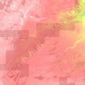
Fleuve Nelson topographic map
Interactive map
Click on the map to display elevation.
About this map
Name: Fleuve Nelson topographic map, elevation, terrain.
Location: Fleuve Nelson, Manitoba, R0B 0L0, Canada (54.05899 -98.20628 56.97400 -92.65846)
Average elevation: 709 ft
Minimum elevation: 128 ft
Maximum elevation: 1,250 ft
Other topographic maps
Click on a map to view its topography, its elevation and its terrain.
Florze
Canada > Manitoba > Division No 1 > Municipalité rurale de Piney
Florze, Municipalité rurale de Piney, Division No 1, Manitoba, Canada
Average elevation: 1,152 ft
Brandon
Canada > Manitoba > Division No 7
Brandon, Division No 7, Manitoba, Canada
Average elevation: 1,296 ft
Louise Lake
Louise Lake, Lynn Lake, Manitoba, Canada
Average elevation: 1,253 ft