
Sukar topographic map
Click on the map to display elevation.
About this map
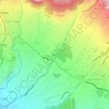
Name: Sukar topographic map, elevation, terrain.
Location: Sukar, Dharamshala, Kangra, Himachal Pradesh, 176200, India (32.17895 76.32374 32.21895 76.36374)
Average elevation: 3,911 ft
Minimum elevation: 3,215 ft
Maximum elevation: 5,043 ft
Other topographic maps
Click on a map to view its topography, its elevation and its terrain.