Geolocate

Lake Isabelle topographic map

Click on the map to display elevation.

About this map

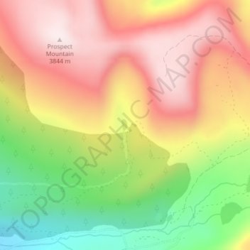
Name: Lake Isabelle topographic map, elevation, terrain.

Location: Lake Isabelle, Lake County, Colorado, United States (39.26902 -106.22862 39.27027 -106.22782)

Average elevation: 11,811 ft

Minimum elevation: 10,807 ft

Maximum elevation: 12,621 ft

Lake County trails, hiking, mountain biking, running and outdoor activities

Other topographic maps

Click on a map to view its topography, its elevation and its terrain.

Mount Evans

United States > Colorado > Lake County

Average elevation: 12,559 ft

Lake Creek

United States > Colorado > Lake County

Average elevation: 10,804 ft

Gear up for your next adventure:

🪑Ultralight Camp Chairs - Portable seating for resting after a long day of mapping
🔥Fast-Boil Camping Stoves - Efficient cooking systems for quick trail meals
🧢Outdoor Hiking Hat - Sun protection hat for outdoor explorers
🕶️Glacier Sunglasses - Side shields to protect eyes from high-altitude snow glare
🔌USB Car Charger - Car charger for on‑the‑go power needs

As an Amazon Associate, this site earns from qualifying purchases at no extra cost to you.