
Haliburton topographic map
Click on the map to display elevation.
About this map
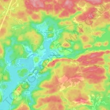
Name: Haliburton topographic map, elevation, terrain.
Average elevation: 1,214 ft
Minimum elevation: 1,017 ft
Maximum elevation: 1,430 ft
Other topographic maps
Click on a map to view its topography, its elevation and its terrain.
Drag lake
Canada > Ontario > Haliburton County > Dysart et al > Haliburton
Average elevation: 1,293 ft
Green Lake
Canada > Ontario > Haliburton County > Dysart et al > West Guilford
Average elevation: 1,070 ft