
Little Brewster Island topographic map
Interactive map
Click on the map to display elevation.
About this map
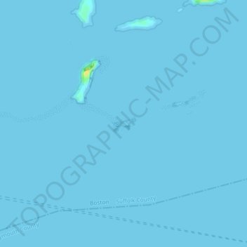
Name: Little Brewster Island topographic map, elevation, terrain.
Average elevation: 0 ft
Minimum elevation: 0 ft
Maximum elevation: 79 ft
Suffolk County trails, hiking, mountain biking, running and outdoor activities
Other topographic maps
Click on a map to view its topography, its elevation and its terrain.
Boston National Historical Park
United States > Massachusetts > Suffolk County > Boston
Average elevation: 30 ft