
Kountz Dam topographic map
Click on the map to display elevation.
About this map
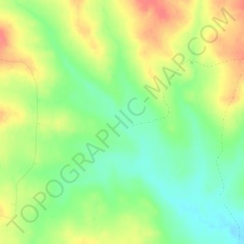
Name: Kountz Dam topographic map, elevation, terrain.
Location: Kountz Dam, Custer County, Montana, United States (46.83829 -105.88062 46.83839 -105.88052)
Average elevation: 2,959 ft
Minimum elevation: 2,864 ft
Maximum elevation: 3,071 ft
Custer County trails, hiking, mountain biking, running and outdoor activities
Other topographic maps
Click on a map to view its topography, its elevation and its terrain.
Yellowstone River
United States > Montana > Custer County
The mainstem of the Yellowstone River is more than 700 miles (1,100 km) long. At the headwaters, elevations exceed 12,800 feet (3,900 m) above sea level, descending to 1,850 feet (560 m) at the confluence with the Missouri River in far western North Dakota. The watershed spans 34,167 square miles (88,490 km2).…
Average elevation: 2,359 ft