Geolocate

Wanham topographic map

Click on the map to display elevation.

About this map

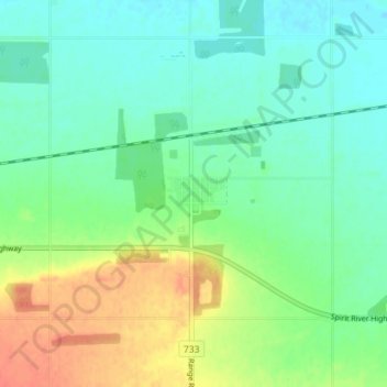
Name: Wanham topographic map, elevation, terrain.

Location: Wanham, Birch Hills County, Alberta, T0H 3P0, Canada (55.71592 -118.40808 55.75592 -118.36808)

Average elevation: 1,965 ft

Minimum elevation: 1,913 ft

Maximum elevation: 2,060 ft

Gear up for your next adventure:

🧭Outdoor Navigation Book - Learn advanced navigation skills
📌Outdoor GPS Map App - Apps and devices for digital topographic navigation
🥾Men's Hiking Boots - Durable, waterproof footwear for rugged terrain and steep inclines
🎒Day Hiking Backpack - Lightweight backpack perfect for day trips and outdoor adventures
🧢Outdoor Hiking Hat - Sun protection hat for outdoor explorers

As an Amazon Associate, this site earns from qualifying purchases at no extra cost to you.