Geolocate

Canton topographic map

Click on the map to display elevation.

About this map

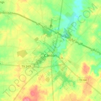
Name: Canton topographic map, elevation, terrain.

Location: Canton, Van Zandt County, Texas, United States (32.53503 -95.87398 32.57735 -95.83789)

Average elevation: 509 ft

Minimum elevation: 433 ft

Maximum elevation: 574 ft

Van Zandt County trails, hiking, mountain biking, running and outdoor activities

Other topographic maps

Click on a map to view its topography, its elevation and its terrain.

Colfax

United States > Texas > Van Zandt County

Average elevation: 558 ft

Martins Mill

United States > Texas > Van Zandt County

Average elevation: 515 ft

Gear up for your next adventure:

🚗GPS Dash Cams - Record your scenic drives through mountain passes and canyons
🍳Camping Cook Set - Complete cookware for outdoor meals
📶Satellite Messenger - Communication device off‑grid
🎒Outdoor Daypacks - Lightweight backpacks designed for carrying maps and essential gear
🧢Sun Protection Hats - Wide-brimmed and UPF-rated hats for high-altitude sun safety

As an Amazon Associate, this site earns from qualifying purchases at no extra cost to you.