Geolocate

Weeksbury topographic map

Click on the map to display elevation.

About this map

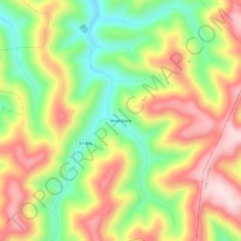
Name: Weeksbury topographic map, elevation, terrain.

Location: Weeksbury, Floyd County, Kentucky, 41669, United States (37.30788 -82.70821 37.34788 -82.66821)

Average elevation: 1,598 ft

Minimum elevation: 1,004 ft

Maximum elevation: 2,198 ft

Floyd County trails, hiking, mountain biking, running and outdoor activities

Other topographic maps

Click on a map to view its topography, its elevation and its terrain.

Wheelwright

United States > Kentucky > Floyd County

Average elevation: 1,460 ft

Allen

United States > Kentucky > Floyd County

Average elevation: 856 ft

Martin

United States > Kentucky > Floyd County

Average elevation: 883 ft

Gear up for your next adventure:

📡Handheld GPS Device - Reliable handheld GPS for outdoor navigation
🪓Survival Multi‑Tool - Versatile tool for camp and trail tasks
🚪Portable Camp Chair - Foldable chair for comfort at camp
🏔️Mountain Trail Maps - High‑detail maps for popular peaks
📌Outdoor GPS Map App - Apps and devices for digital topographic navigation

As an Amazon Associate, this site earns from qualifying purchases at no extra cost to you.