Geolocate

Eolia topographic map

Click on the map to display elevation.

About this map

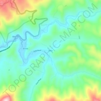
Name: Eolia topographic map, elevation, terrain.

Location: Eolia, Letcher County, Kentucky, 40826, United States (37.03371 -82.81155 37.07371 -82.77155)

Average elevation: 2,008 ft

Minimum elevation: 1,627 ft

Maximum elevation: 2,933 ft

Other topographic maps

Click on a map to view its topography, its elevation and its terrain.

Whitesburg

United States > Kentucky > Letcher County

Average elevation: 1,463 ft

Jenkins

United States > Kentucky > Letcher County

Average elevation: 1,936 ft

Gear up for your next adventure:

📡GPS Antenna Upgrade - Enhance GPS reception in remote terrain
🔊Portable Camp Speaker - Music and alerts at camp
🪶Thermal Camp Blanket - Extra warmth for cold nights
🍳Camping Cook Set - Complete cookware for outdoor meals
Backpacking Tent - Lightweight and durable tent for multi‑day hikes

As an Amazon Associate, this site earns from qualifying purchases at no extra cost to you.