
Olanta topographic map
Click on the map to display elevation.
About this map
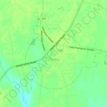
Name: Olanta topographic map, elevation, terrain.
Location: Olanta, Florence County, South Carolina, United States (33.92685 -79.94274 33.94692 -79.91791)
Average elevation: 115 ft
Minimum elevation: 85 ft
Maximum elevation: 128 ft
Florence County trails, hiking, mountain biking, running and outdoor activities
Other topographic maps
Click on a map to view its topography, its elevation and its terrain.
Florence Soccer Complex
United States > South Carolina > Florence County > Florence
Average elevation: 138 ft
Florence
United States > South Carolina > Florence County
Florence is located in the coastal plain of South Carolina. It is in the northeastern part of the state and the northern part of Florence County. The average elevation above sea level is around 140 ft (43 m). Jeffries Creek is a tributary of the Great Pee Dee River and is the main waterway that flows through…
Average elevation: 115 ft