Geolocate

Reno topographic map

Click on the map to display elevation.

About this map

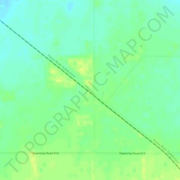
Name: Reno topographic map, elevation, terrain.

Location: Reno, Northern Sunrise County, Alberta, Canada (55.98471 -117.01363 56.00471 -116.99363)

Average elevation: 1,955 ft

Minimum elevation: 1,929 ft

Maximum elevation: 1,982 ft

Gear up for your next adventure:

📷Action Cameras - Rugged cameras to document your journeys across rugged terrain
🕶️Glacier Sunglasses - Side shields to protect eyes from high-altitude snow glare
⛑️Personal Locator Beacon - Safety beacon for emergencies
🌎3D Topographic Globes - Raised relief globes for a tactile understanding of geography
🔦Compact Flashlight - Reliable flashlight for emergencies

As an Amazon Associate, this site earns from qualifying purchases at no extra cost to you.