Geolocate

Lakeside topographic map

Click on the map to display elevation.

About this map

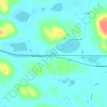
Name: Lakeside topographic map, elevation, terrain.

Location: Lakeside, Sheridan County, Nebraska, United States (42.03595 -102.44480 42.07595 -102.40480)

Average elevation: 3,904 ft

Minimum elevation: 3,865 ft

Maximum elevation: 4,072 ft

Other topographic maps

Click on a map to view its topography, its elevation and its terrain.

Rushville

United States > Nebraska > Sheridan County

Average elevation: 3,743 ft

Gear up for your next adventure:

🎒Trekking Poles - Sturdy poles for balance and stability on rough terrain
🪶Trail Camera - Capture wildlife on your hikes
📦Dry Bags Set - Waterproof storage for electronics and clothes
⛑️Personal Locator Beacon - Safety beacon for emergencies
📱Heavy-Duty Phone Cases - Drop-proof and waterproof protection for outdoor navigation

As an Amazon Associate, this site earns from qualifying purchases at no extra cost to you.