
磨山 topographic map
Interactive map
Click on the map to display elevation.
About this map
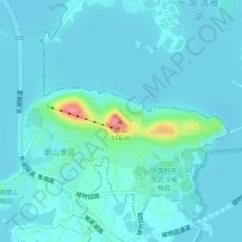
Name: 磨山 topographic map, elevation, terrain.
Location: 磨山, 武昌区, 东湖生态旅游风景区(托管), 湖北省, 430074, 中国 (30.55301 114.41153 30.55311 114.41163)
Average elevation: 92 ft
Minimum elevation: 56 ft
Maximum elevation: 364 ft
Other topographic maps
Click on a map to view its topography, its elevation and its terrain.