
Liberty topographic map
Click on the map to display elevation.
About this map
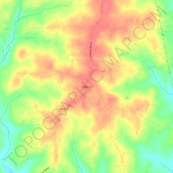
Name: Liberty topographic map, elevation, terrain.
Location: Liberty, Halifax County, Virginia, United States (36.86458 -78.99474 36.90458 -78.95474)
Average elevation: 535 ft
Minimum elevation: 407 ft
Maximum elevation: 627 ft
Halifax County trails, hiking, mountain biking, running and outdoor activities
Other topographic maps
Click on a map to view its topography, its elevation and its terrain.