Geolocate

Cascade Falls topographic map

Click on the map to display elevation.

About this map

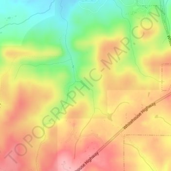
Name: Cascade Falls topographic map, elevation, terrain.

Location: Cascade Falls, Meriwether County, Georgia, 31830, United States (32.87011 -84.69527 32.87021 -84.69517)

Average elevation: 1,155 ft

Minimum elevation: 925 ft

Maximum elevation: 1,335 ft

Meriwether County trails, hiking, mountain biking, running and outdoor activities

Other topographic maps

Click on a map to view its topography, its elevation and its terrain.

Lone Oak

United States > Georgia > Meriwether County

Average elevation: 846 ft

Warm Springs

United States > Georgia > Meriwether County

Warm Springs is located in southern Meriwether County at 32°53′19″N 84°40′48″W / 32.88861°N 84.68000°W / 32.88861; -84.68000 (32.888689, −84.680089). It is bordered to the south by Talbot County and to the west by F. D. Roosevelt State Park, including the Little White House. Pine…

Average elevation: 968 ft

Greenville

United States > Georgia > Meriwether County

Average elevation: 846 ft

Gear up for your next adventure:

🖼️Topo Map Wall Art - Decorative topographic prints of famous peaks and regions
📻Weather Alert Radios - Stay informed of storm risks while off-the-grid
🧭GPS Watch Accessories - Bands and chargers for GPS watches
🔌Solar Panel Charger - Charge gear sustainably outdoors
📚Navigation Handbooks - Master the art of reading topographic maps and using a compass

As an Amazon Associate, this site earns from qualifying purchases at no extra cost to you.