
Jeblia Nord topographic map
Interactive map
Click on the map to display elevation.
About this map
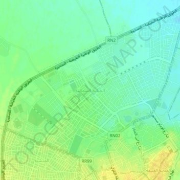
Name: Jeblia Nord topographic map, elevation, terrain.
Location: Jeblia Nord, Kairouan Nord, Kairouan, Tunisie (35.67761 10.07087 35.70485 10.10691)
Average elevation: 187 ft
Minimum elevation: 154 ft
Maximum elevation: 226 ft
Other topographic maps
Click on a map to view its topography, its elevation and its terrain.
Hajeb El Ayoun
Tunisie > Kairouan > Hajeb El Ayoun
Hajeb El Ayoun, El Hajeb Centre, Bouhajla, Kairouan, Tunisie
Average elevation: 1,106 ft
Oued Zeroud
Oued Zeroud, Abida, Echebika, Kairouan, 3151, Tunisie
Average elevation: 331 ft
El Ain El Beidha
El Ain El Beidha, Haffouz, Kairouan, Tunisie
Average elevation: 938 ft
Oued El Jabbes
Oued El Jabbes, Haffouz, Kairouan, Tunisie
Average elevation: 1,188 ft