
Mexico Beach topographic map
Click on the map to display elevation.
About this map
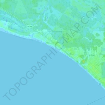
Name: Mexico Beach topographic map, elevation, terrain.
Location: Mexico Beach, Bay County, Florida, United States (29.92492 -85.44524 29.96294 -85.38849)
Average elevation: 7 ft
Minimum elevation: -10 ft
Maximum elevation: 39 ft
Bay County trails, hiking, mountain biking, running and outdoor activities
Other topographic maps
Click on a map to view its topography, its elevation and its terrain.