
Falmagne topographic map
Interactive map
Click on the map to display elevation.
About this map
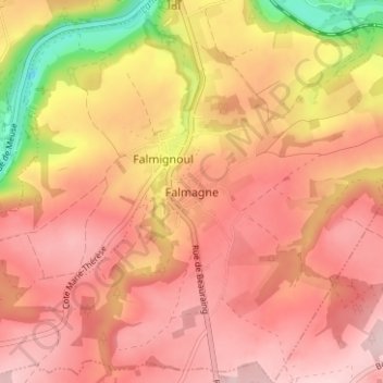
Name: Falmagne topographic map, elevation, terrain.
Location: Falmagne, Dinant, Namen, Wallonië, België (50.18031 4.87714 50.22031 4.91714)
Average elevation: 735 ft
Minimum elevation: 230 ft
Maximum elevation: 978 ft
Other topographic maps
Click on a map to view its topography, its elevation and its terrain.