Geolocate

Bostwick topographic map

Click on the map to display elevation.

About this map

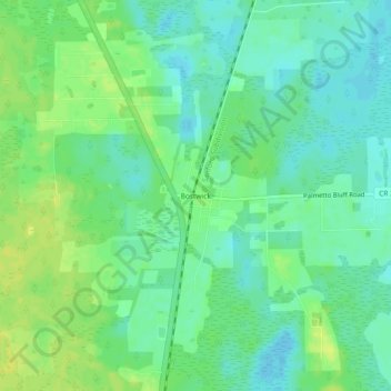
Name: Bostwick topographic map, elevation, terrain.

Location: Bostwick, Putnam County, Florida, 32007, United States (29.75413 -81.65703 29.79413 -81.61703)

Average elevation: 39 ft

Minimum elevation: 10 ft

Maximum elevation: 72 ft

Putnam County trails, hiking, mountain biking, running and outdoor activities

Other topographic maps

Click on a map to view its topography, its elevation and its terrain.

Welaka

United States > Florida > Putnam County

Average elevation: 23 ft

Whirlwind Lake

United States > Florida > Putnam County

Average elevation: 141 ft

Lake Green Sills

United States > Florida > Putnam County

Average elevation: 141 ft

Violet Lake

United States > Florida > Putnam County

Average elevation: 108 ft

Gear up for your next adventure:

🪵Folding Camp Saw - Compact saw for wood and campsite work
🧦Hiking Socks - Comfortable socks to prevent blisters on long hikes
🧢Sun Protection Hats - Wide-brimmed and UPF-rated hats for high-altitude sun safety
🛠️Backpacking Tool Kit - Essential toolkit for outdoor repairs
🪶Camp Gear Gift Set - Perfect gift bundle for outdoor fans

As an Amazon Associate, this site earns from qualifying purchases at no extra cost to you.