Geolocate

McCordsville topographic map

Click on the map to display elevation.

About this map

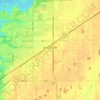
Name: McCordsville topographic map, elevation, terrain.

Location: McCordsville, Hancock County, Indiana, 46055, United States (39.85613 -85.93844 39.92821 -85.89520)

Average elevation: 850 ft

Minimum elevation: 778 ft

Maximum elevation: 879 ft

Hancock County trails, hiking, mountain biking, running and outdoor activities

Other topographic maps

Click on a map to view its topography, its elevation and its terrain.

Cleveland

United States > Indiana > Hancock County

Average elevation: 958 ft

Gear up for your next adventure:

🔋Rechargeable Batteries - Power up your outdoor devices
📻Weather Alert Radios - Stay informed of storm risks while off-the-grid
🕶️GPS Smartphone Mount - Secure mount for phone navigation
🔋Solar Power Banks - Keep your GPS and phone charged in remote wilderness areas
🧦Merino Wool Socks - Moisture-wicking, blister-preventing socks for long treks

As an Amazon Associate, this site earns from qualifying purchases at no extra cost to you.