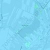
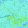
Pijnacker topographic map
Click on the map to display elevation.
About this map
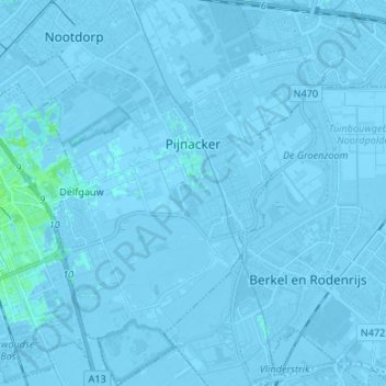
Name: Pijnacker topographic map, elevation, terrain.
Location: Pijnacker, Pijnacker-Nootdorp, South Holland, Netherlands (51.96820 4.40165 52.05028 4.47679)
Average elevation: -7 ft
Minimum elevation: -26 ft
Maximum elevation: 16 ft
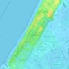
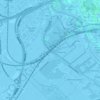
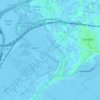
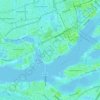
Other topographic maps
Click on a map to view its topography, its elevation and its terrain.