
Thank you for supporting this site ❤️
Make a donation
Make a donation
Gear up for your next adventure:
As an Amazon Associate, this site earns from qualifying purchases at no extra cost to you.
Going topographic map
Click on the map to display elevation.
Thank you for supporting this site ❤️
Make a donation
Make a donation
Gear up for your next adventure:
As an Amazon Associate, this site earns from qualifying purchases at no extra cost to you.
About this map
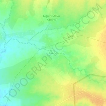
Name: Going topographic map, elevation, terrain.
Location: Going, Guidiguis, Mayo-Kani, Far-North, Cameroon (10.06330 14.53000 10.10330 14.57000)
Average elevation: 1,243 ft
Minimum elevation: 1,191 ft
Maximum elevation: 1,289 ft
Thank you for supporting this site ❤️
Make a donation
Make a donation
Gear up for your next adventure:
As an Amazon Associate, this site earns from qualifying purchases at no extra cost to you.