Geolocate

The Hills Development topographic map

Click on the map to display elevation.

About this map

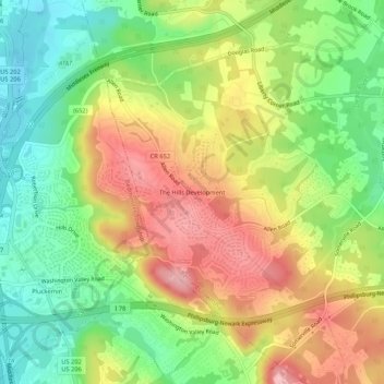
Name: The Hills Development topographic map, elevation, terrain.

Location: The Hills Development, Bernards Township, Somerset County, New Jersey, 06921, United States (40.63598 -74.63909 40.67598 -74.59909)

Average elevation: 341 ft

Minimum elevation: 108 ft

Maximum elevation: 614 ft

Somerset County trails, hiking, mountain biking, running and outdoor activities

Other topographic maps

Click on a map to view its topography, its elevation and its terrain.

Somerville

United States > New Jersey > Somerset County

Average elevation: 69 ft

Millstone

United States > New Jersey > Somerset County

Average elevation: 72 ft

Gear up for your next adventure:

🗺️Topographic Maps - Detailed topo maps for hiking, exploring and outdoor navigation
🧥Men's Rain Shells - Premium waterproof and breathable jackets for mountain weather
👖Convertible Hiking Pants - Versatile zip-off pants for changing altitudes and temperatures
📦Dry Bags Set - Waterproof storage for electronics and clothes
🧢Sun Protection Hats - Wide-brimmed and UPF-rated hats for high-altitude sun safety

As an Amazon Associate, this site earns from qualifying purchases at no extra cost to you.