
Tartu vald topographic map
Interactive map
Click on the map to display elevation.
About this map
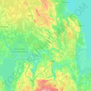
Name: Tartu vald topographic map, elevation, terrain.
Location: Tartu vald, Tartu maakond, Estonia (58.35951 26.14489 58.64886 27.53427)
Average elevation: 180 ft
Minimum elevation: 85 ft
Maximum elevation: 607 ft
Other topographic maps
Click on a map to view its topography, its elevation and its terrain.